Personalised London map prints
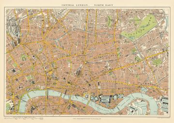
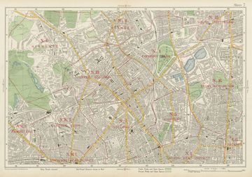
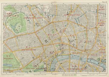
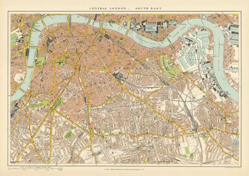
Victorian and Edwardian London, street by street: the City and East End, Bloomsbury and Marylebone, Kensington and Chelsea, Highgate and Holloway, Battersea and Wandsworth, plus the old county of Middlesex. Each one can carry your own words, from a family name to a local saying.
Town and city plans
County and area maps
London maps: quick answers
Which London maps do you have?
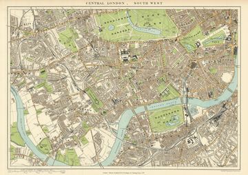
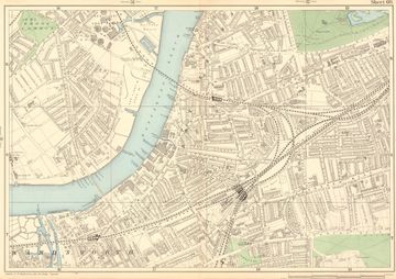
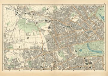
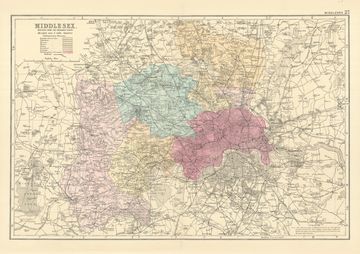
8 maps: Middlesex, North East London, North London, North West London, South East London, South West London, Wandsworth & Battersea, West London.
How do I find my town or village in London?
Type it, or your postcode, into the search on this page. We’ll show every map that includes it, with street-level town plans listed first.
How much does a personalised map print cost?
From £15 for a 7×5″ print to £95 for A0, with free UK delivery. A3 at £32 is our most popular size.